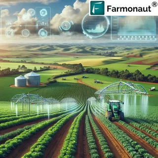
In recent years, the agricultural sector has undergone a significant transformation, largely due to the integration of advanced technologies. Among the most impactful tools is satellite imaging. This powerful innovation is reshaping how farmers manage crops, conserve resources, and increase yields. How satellite imaging supports precision agriculture innovations is a key topic for understanding the future of farming.
Understanding Precision Agriculture
Precision agriculture refers to the use of data-driven technologies to optimize farming practices. Instead of treating entire fields uniformly, precision agriculture allows farmers to manage small sections individually based on specific conditions. This targeted approach leads to better decision-making, improved productivity, and reduced environmental impact.
The Role of Satellite Imaging in Modern Farming
Satellite imaging provides high-resolution, real-time data about crop health, soil conditions, weather patterns, and more. By capturing images from space, satellites offer a bird’s-eye view of entire agricultural regions, enabling farmers to:
- Detect crop stress early
- Monitor moisture levels
- Track pest infestations
- Measure crop growth and yield potential
This technology allows for more accurate and efficient farm management. How satellite imaging supports precision agriculture innovations becomes clear when examining these applications in the field.
Benefits of Satellite Imaging in Precision Agriculture
1. Improved Crop Monitoring
Farmers can use satellite images to monitor crop health throughout the growing season. These images help identify issues like nutrient deficiencies or irrigation problems long before they become visible to the naked eye. Timely intervention means healthier crops and higher yields.
2. Efficient Resource Use
Using detailed satellite data, farmers can apply water, fertilizers, and pesticides only where they are needed. This reduces waste and lowers costs, while also minimizing the environmental impact of agricultural operations.
3. Better Planning and Forecasting
With historical and real-time satellite data, farmers can predict weather impacts, plan harvest times, and make informed decisions about future planting strategies. This enhances resilience in the face of changing climate conditions.
Future Outlook
As satellite technology becomes more advanced and affordable, its role in agriculture will only grow. Newer satellites offer higher resolution and more frequent updates, making the data even more valuable for precision farming. In this context, understanding how satellite imaging supports precision agriculture innovations is crucial for stakeholders in the agricultural industry.
Conclusion
Satellite imaging is a game-changer for agriculture. It empowers farmers with the data they need to make smarter, more sustainable decisions. From boosting crop yields to conserving resources, the evidence of how satellite imaging supports precision agriculture innovations is both clear and compelling. As these technologies continue to evolve, they will play a central role in feeding the world more efficiently and responsibly.


